
Planning your cycle route
If you’re planning on cycling around Hull, you can check out route information via Your Hull Maps -
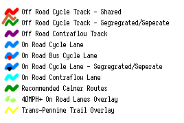
Where there is an 'On Road Bus Cycle Lane', the operating times for -
- buses
- cycles
- taxis
is Monday to Saturday, 7am to 9.30am and 4pm to 6.30pm.
Outside these times, the lanes are available for use by all vehicles, except Queen Victoria Square and Carr Lane, which are open 24 hours a day, 7 days a week.
Hull Cycle Map
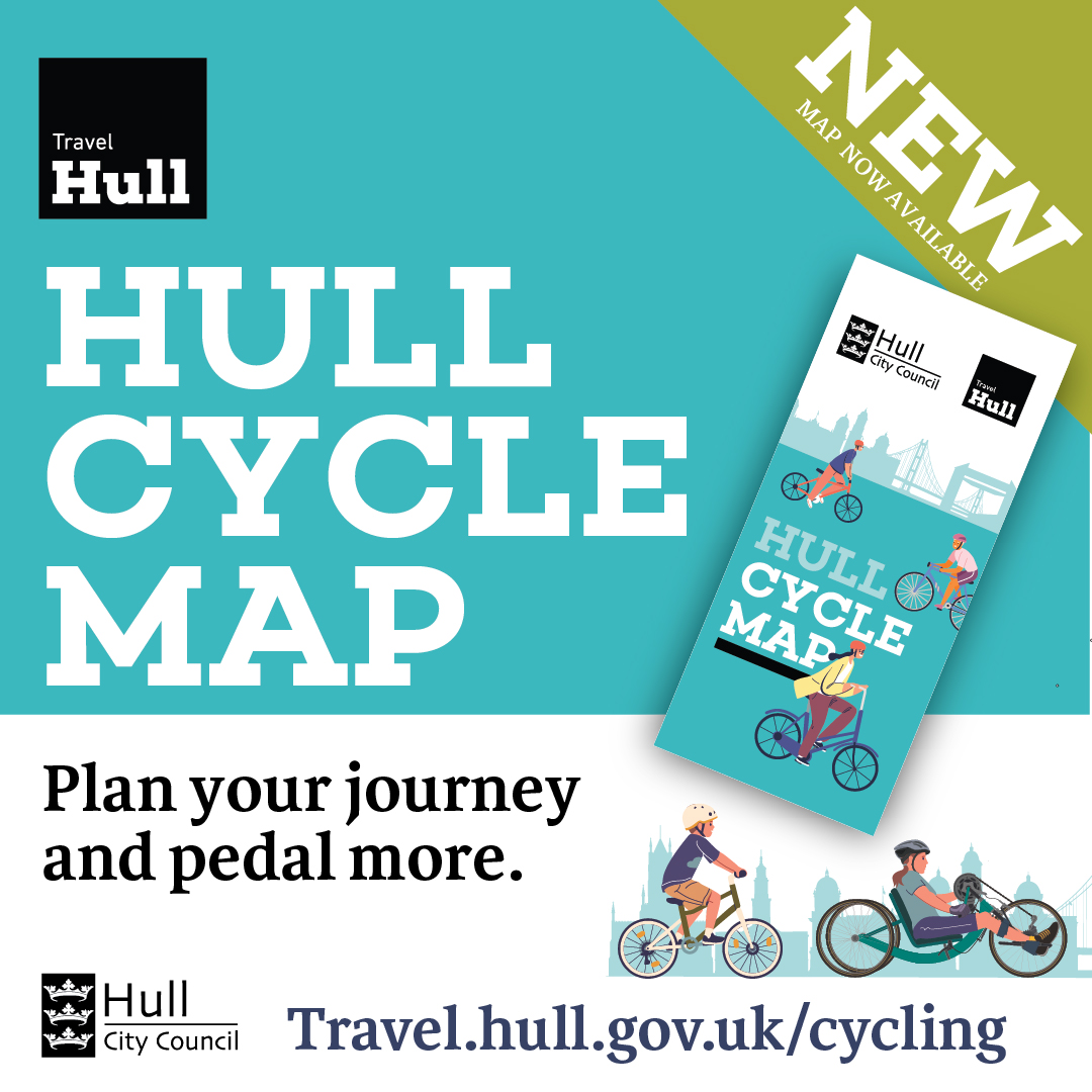 A new cycle map has been created for Hull, promoting the benefits of cycling and helping residents plan a journey by bike, whether it is for leisure, commuting to school or work or for making short trips, such as errands or visiting family and friends locally.
Hull has an expanding network of on-road cycle lanes, off-road cycle tracks, quiet streets and open spaces, which provide the perfect opportunity to choose quicker, more convenient and cost-effective modes of travel, such as cycling.
The new map includes -
- an overall view of the city’s cycle network and links to surrounding towns and villages, including route types, safety and traffic information, cycling facilities, public services and landmarks
- a city centre pull-out
- some of the environmental, health, and well-being benefits of cycling
- where to find cycling services and support in Hull
- ten recommended routes
The map is in large-scale PDF format, which allows you to use the zoom function in the top centre of the screen, once opened, to view any particular area of the city in greater detail.
Alternatively, printed copies of the map will be available, for free, from libraries, leisure centres, tourist information points and customer service centres as well as other locations.
Large print versions of this map are available, on request, email Active.Travel@hullcc.gov.uk.